I am very hopeful that we'll get a good mesh update, I can just image the Alps with all the proper pointy bits.
Up until this month there's been no photogrammetry available for NZ, but this month Bing did a small update, which includes Christchurch, so I would expect that this would be included in WU_NZ. Maybe other cities if they are done by then.
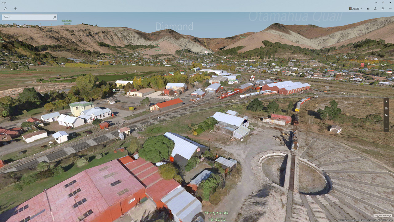
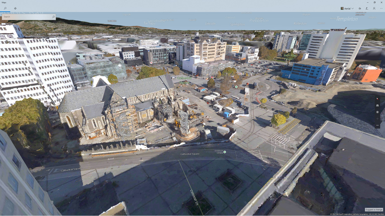
Here's a couple of screenshots from Bing Maps, showing the new Christchurch coverage.
First up is Ferrymead Heritage Park, an early 1900s township. This shows one of the strengths of photogrammetry, with some real detail as long as you don't get too close.
Cathedral Square shows the cathedral under repair, and it does show the newly-completed conference centre.
I'm a bit ambivalent about photogrammetry, in some respects it is an improvement over aerial imagery plus autogen, but it does have limitations in the sim. As I've said, you can't get too close to it without losing detail, so you can't expect to walk around the city. Well, you could try, and it might work to some extent. There's also the MSFS streaming, if you have low bandwidth (whether normal for you or occasional dropouts) you get the 'melted' look of low-res modelling. Recently MSFS has reported low bandwidth, and asked if I want to turn off photogrammetry, so this may be a problem for some.
I can remember having long discussions with Ian about photogrammetry (previously available only on Google Earth) and he was not a fan:) He always went on about 'blobby trees'.
I've recently done some serious complaining to Microsoft for my lack of access to the Marketplace, so my future with MSFS is by no means certain. But it will be great to have a better-detailed NZ.