the viewing deck in the 1960s right up until round 1978 you could almost see to the backbone off the South Island , the Alps , you could see the Riccarton
racecourse grandstand and you could see the University , the airport was not in a 5 meter sink around the airport perimeter and it deepens as you head north .
Today the trees has taken over from the landmarks and now sit in behind the 20 years of growth .
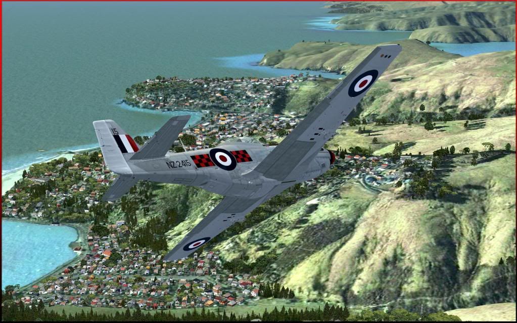
The VLC Mesh was very much exact , the photo wrapped around Banks Peninsular without any or little notice , Now with the so called ORBX mesh and
apparently more accurate so says the company , the so called (10 meter mesh) look at the result
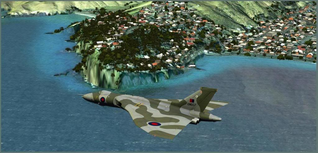
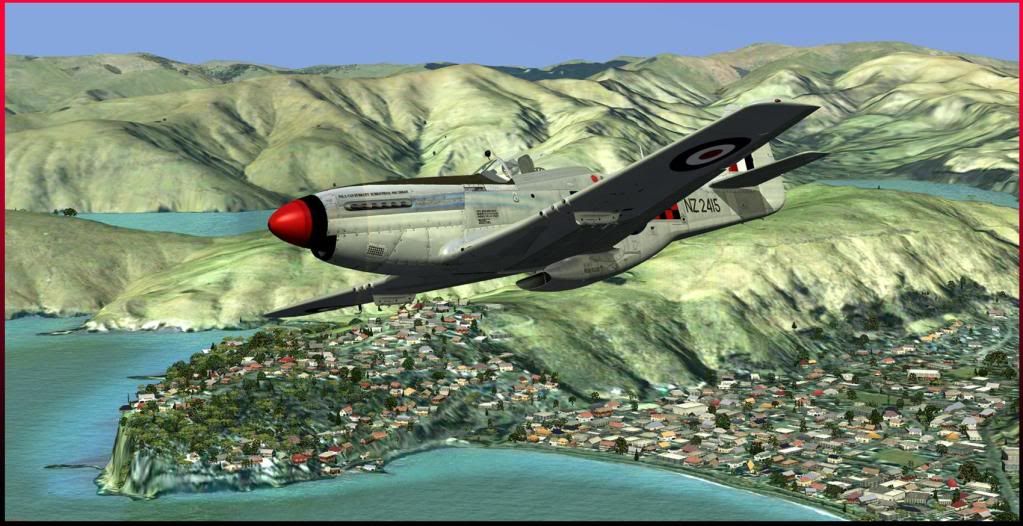
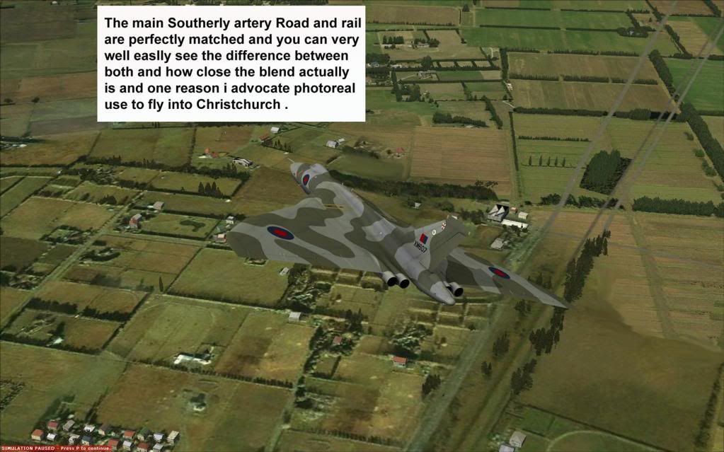
I checked it to compare to the against the inland join to the major roads and railway lines , This proves it is not the photo .
Checking all corners of the photo , but appears ORBX was trying to be more technical but proved to be completely incorrect on the eastern shore line and
the heads of the Peninsular .
Dont look at Autogen as mentioned this is a huge task and i have not spent time on it recent .
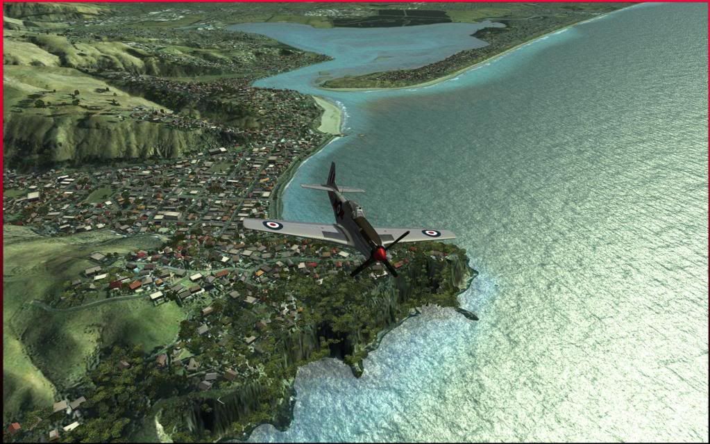
The one thing the ORBX texture really works in this area and the photo blends in well
A lot has to be said for the so called better than VLC in respect to the meshes , I was told the Data is the same , unless it is 10 meter how can this change to
a point were the prove off a photo is there .
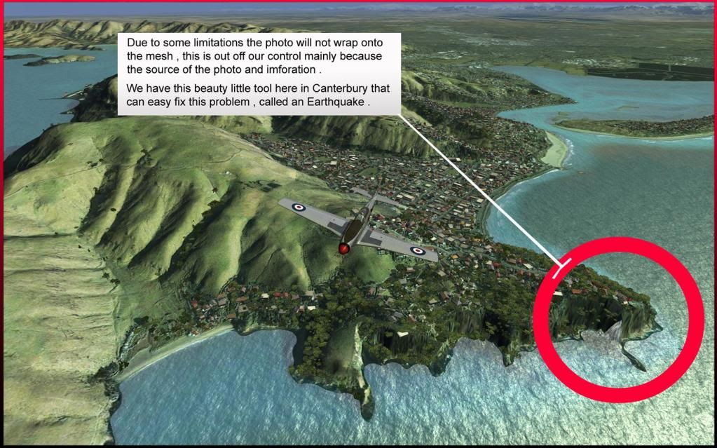
The one fix that can be done is to take a portion from the free earthquake photo and place it , this would be a higher resolution and would enhance the Sumner
region
The point is , I wonder who really beta tested the well known piece of rock , proves ORBX not can but dose get it wrong big time