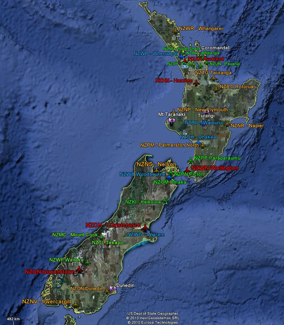
Anyhow, rather than just grumping on in the forums I thought something like this might be of value to those wanting to fly FS9 in NZ.
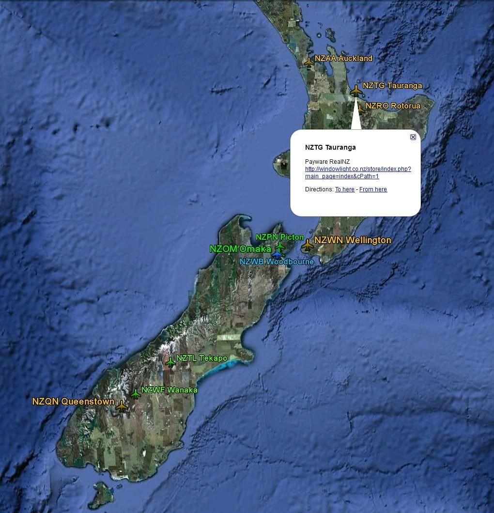
It's just a Google Earth kml file with clickable links to the file source.
Makes it easy for someone starting out in NZ, or someone who's forgotten what's where!
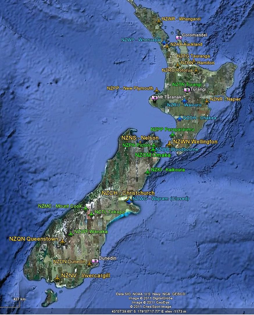
I have split the sceneries into
- Photoreal area scenery
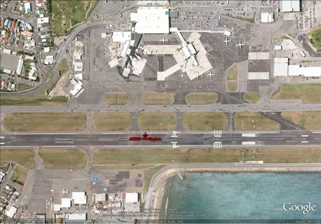
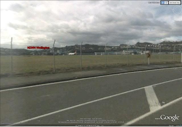
- Scheduled-service airports
- Local Airports
- Military Airports
Any further suggestions are welcome at this stage...