I think I've spent so much $ in new addons this year that I could have just bought myself a new computer!
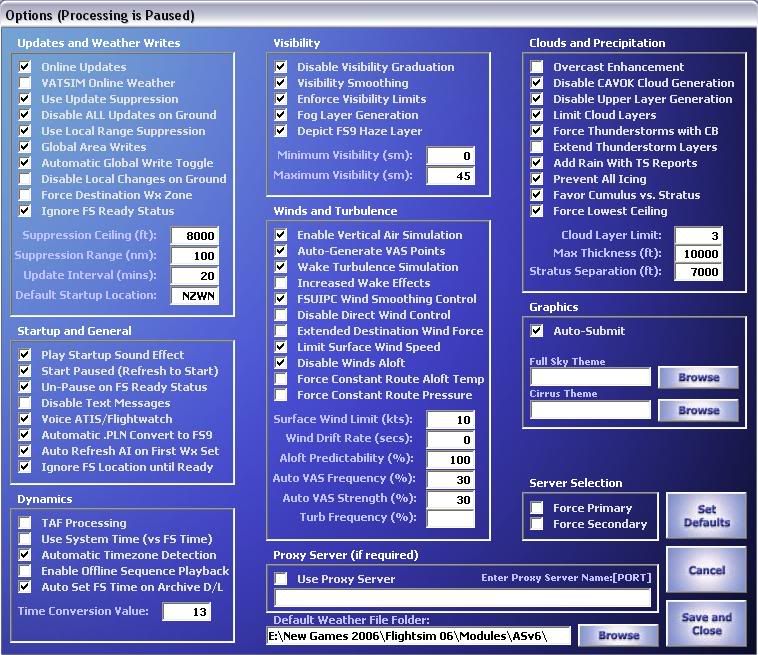
Anyway, I've spent a few hours reading through the instructions and setting it up, but am still a little confused about how it auto updates itself. Do I need to have the program running every time I start FS to get the real world weather? Do I have to enter the airport I am at's ICAO code, press fetch, then press refresh (or download?) to then get it into the sim? When inside fs2004, do I need to select Real World weather (static or update every 15 mins), or do I just leave it set as clear skys in order to recieve the AS clouds and winds? How do I know when it has been updated successfully in the sim every 10 minutes- will I get that green bar across the top of my screen giving me the updated METAR?
If someone with experience with Active Sky could help me out a bit I'd be very greatful, thanks!


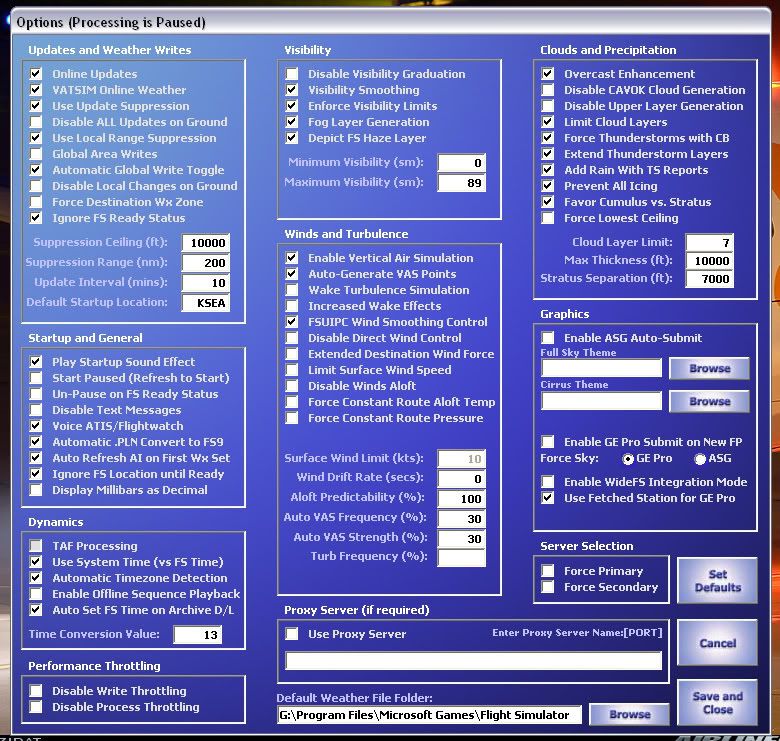


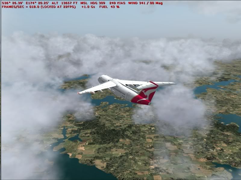


 Apparently if you ran a "new route" through active sky, it would use the extra stations available to vatsim, but I've never got it to work. Active sky will tell FS9 what weather to make. So basically, your FS9 limitations you have enforced will still apply. So if you have simple clouds, and low density, Activesky will tell FS9 to create FEW030 (few @ 3000) and FS9 will set "few at 3000" just like you can in user defined options for any given wx station. How detailed the weather displays is still up to the settings you have in FS9.