Tile Proxy = aerial images loaded directly from Google Earth.


100% ad-free
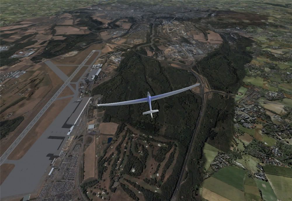
![]() by toprob » Mon May 21, 2007 4:52 pm
by toprob » Mon May 21, 2007 4:52 pm

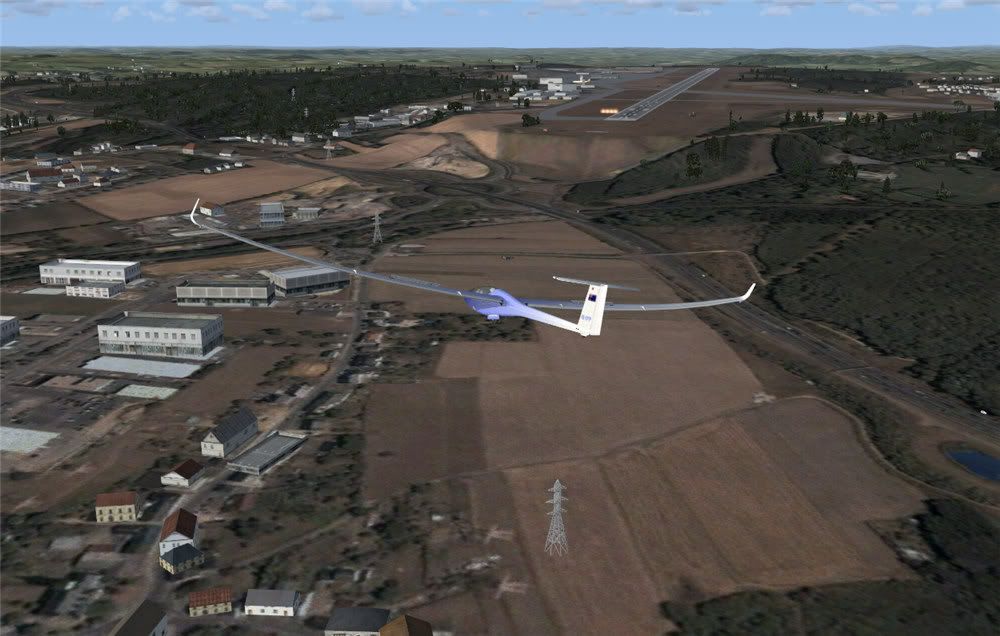
![]() by toprob » Mon May 21, 2007 5:32 pm
by toprob » Mon May 21, 2007 5:32 pm
![]() by Ian Warren » Mon May 21, 2007 5:43 pm
by Ian Warren » Mon May 21, 2007 5:43 pm
 .. anyone in for a bitta Autogen


![]() by Charl » Mon May 21, 2007 8:29 pm
by Charl » Mon May 21, 2007 8:29 pm
Ian Warren wrote:WHICKED ! Robin PIC no 7 ... The Russelly Hotel !


![]() by toprob » Mon May 21, 2007 9:15 pm
by toprob » Mon May 21, 2007 9:15 pm
Charl wrote:Definitely very interesting...could one adapt existing autogen?
What about scenery objects?
Could one plop some hangers onto this, for example?

![]() by Charl » Mon May 21, 2007 10:22 pm
by Charl » Mon May 21, 2007 10:22 pm
![]() by Cbris » Tue May 22, 2007 12:06 am
by Cbris » Tue May 22, 2007 12:06 am


![]() by towerguy » Tue May 22, 2007 8:02 am
by towerguy » Tue May 22, 2007 8:02 am

![]() by scon » Tue May 22, 2007 8:07 am
by scon » Tue May 22, 2007 8:07 am
towerguy wrote: just some clarification please??
once you have done the flight are you able to save the downloaded tiles so you can refly the area offline? or is it only a case of being online every time?
I just wondered because if the cloud shows as a white area on the ground then you could only fly during fine periods. You would not be able to do an instrument approach and then break out to see scenery.
![]() by Cbris » Tue May 22, 2007 9:18 am
by Cbris » Tue May 22, 2007 9:18 am
towerguy wrote: just some clarification please??
once you have done the flight are you able to save the downloaded tiles so you can refly the area offline? or is it only a case of being online every time?
I just wondered because if the cloud shows as a white area on the ground then you could only fly during fine periods. You would not be able to do an instrument approach and then break out to see scenery.
![]() by hinch » Tue May 22, 2007 10:39 am
by hinch » Tue May 22, 2007 10:39 am
![]() by deaneb » Tue May 22, 2007 5:09 pm
by deaneb » Tue May 22, 2007 5:09 pm


![]() by toprob » Tue May 22, 2007 6:35 pm
by toprob » Tue May 22, 2007 6:35 pm
deaneb wrote:Robin - are you able to share your config file entries ??
Users browsing this forum: No registered users and 15 guests


