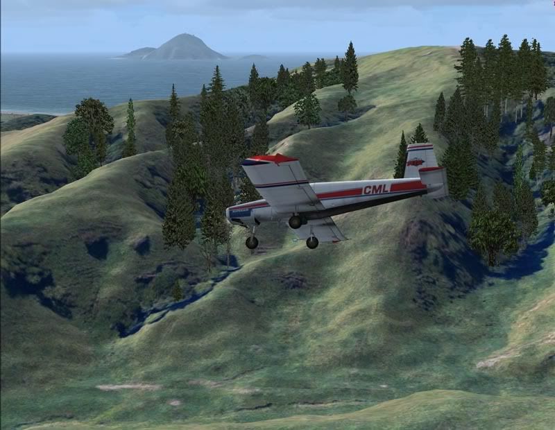
It was an early morning start as i had a fair bit of area to cover and I had to use Grass 27 back at Whakatane airport to re-fill. The job for today was to cover some steep paddocks between Whakatane and Ohope and then to drop some fert on the dunes on the way back to encourage rigorous dune plant growth
Start up. It was a cold morning but no ice/hoar froast was on the plane....load up the first load and head out for the area ".....Any traffic Whakatane?"...no chance at this hour!

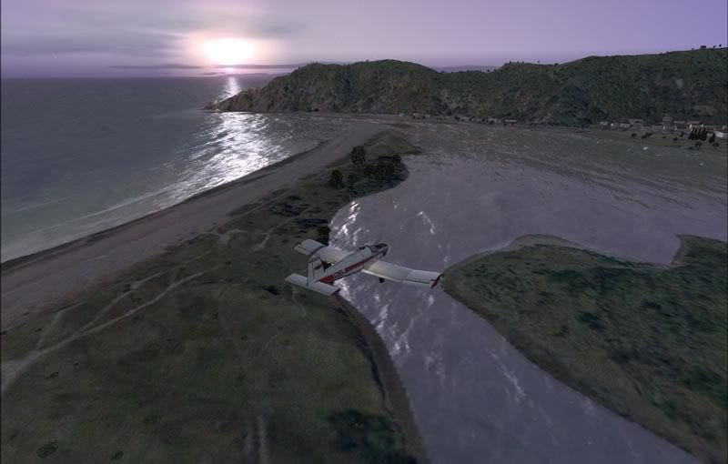
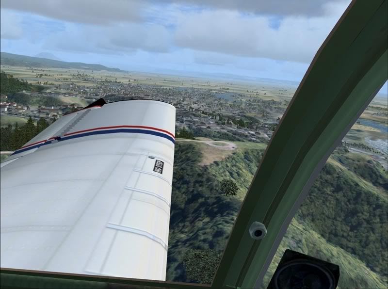
Heading towards the Heads/Kohi Point. Flying in this early light can be tricky...a lot of people are going to have an early morning wake up

Some faults in the GPS system meant the sun was up by the time i was ready to drop the first load. A quick reccy in case the farmer didnt tell me about cables across the valley.
And now to work
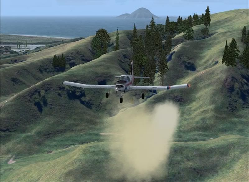
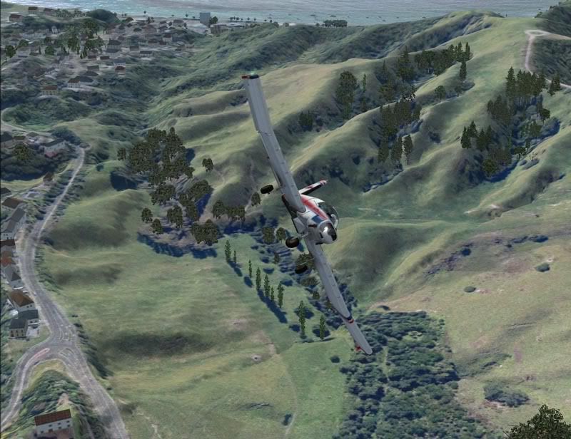
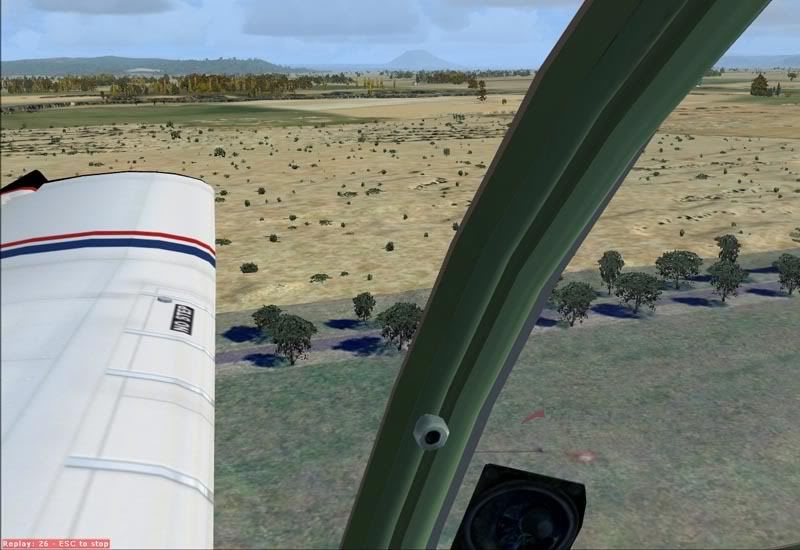
Down and dirty!
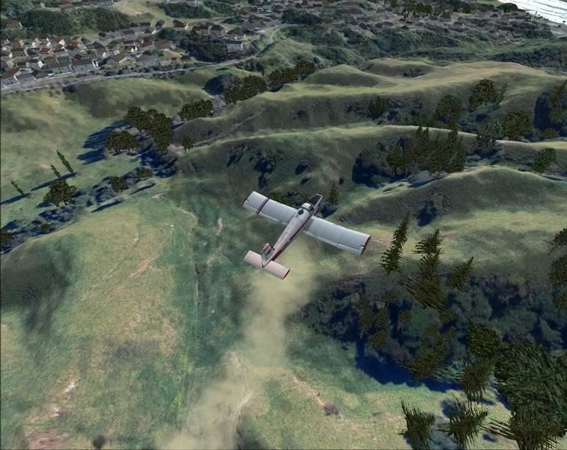
A couple of runs at that area was covered...im not sure the residents of Hillcrest would have enjoyed it though!
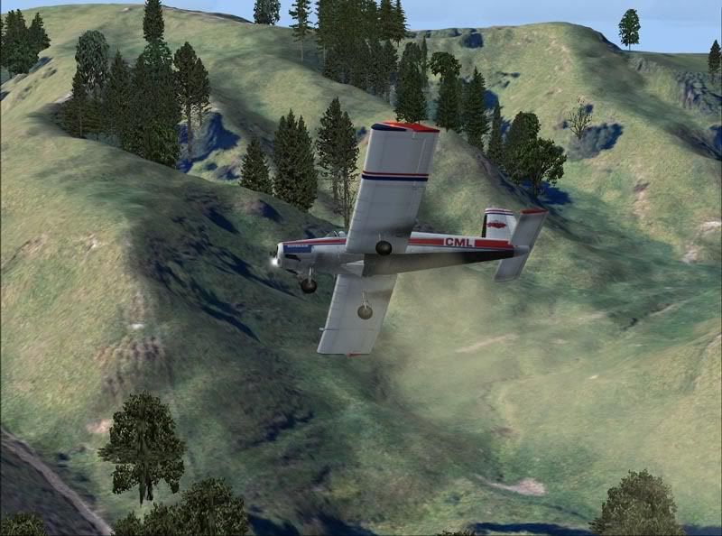
Time to start heading back to reload....
Kohi Point look out
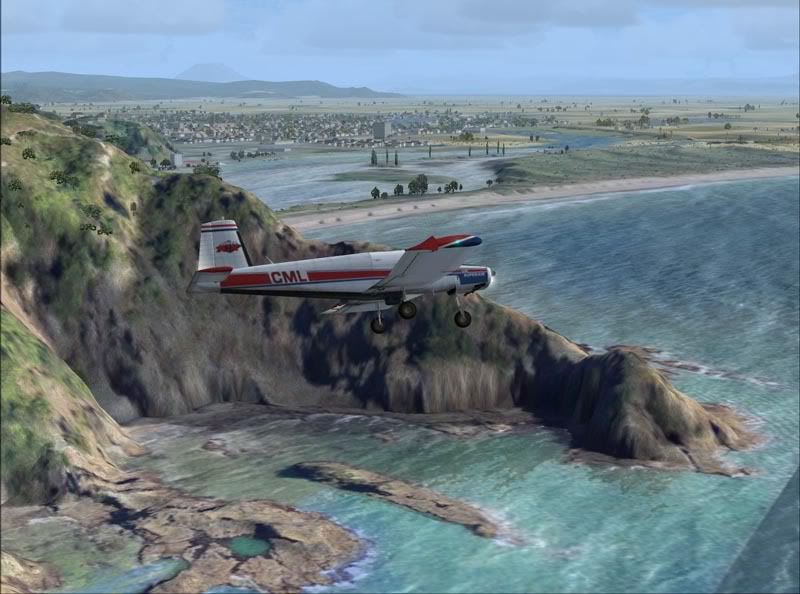
The Heads are looking good today...might get some fishing in later
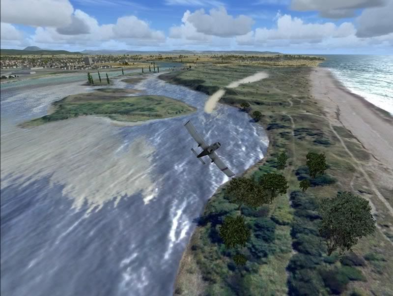
The second small job was to drop a couple of loads worth on the dunes.
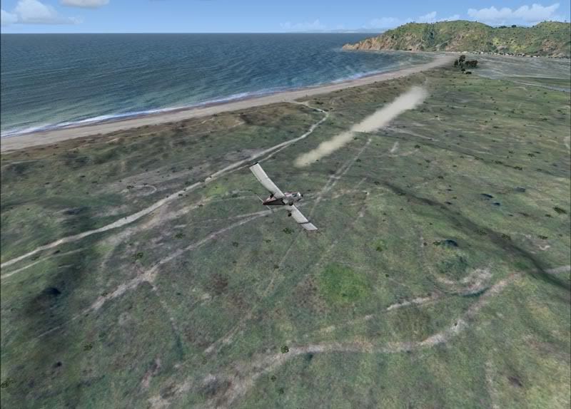
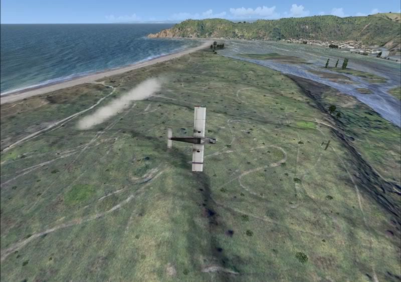
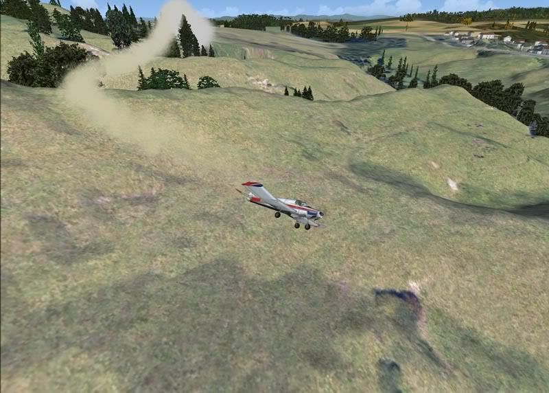
About as close as a modern day pilot can get to the ground
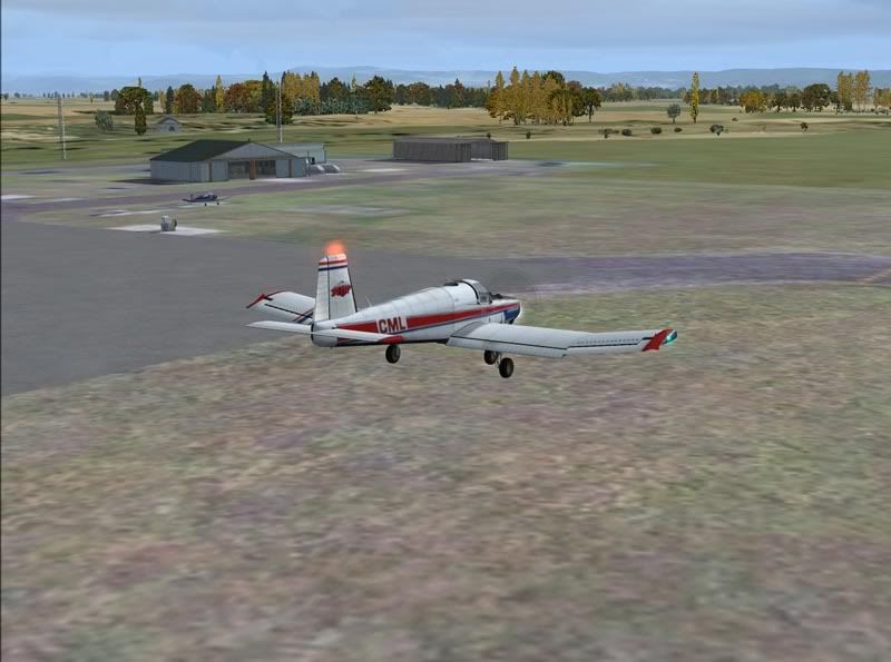
All done for the day...wind looks good
The hardstand for this aircraft is next to the AirDiscovery/Vulcan Helicopters hanger
No Hanger for this brute though!
All in a days work:)


 And original!


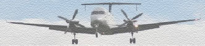
 Haha very nice Timmo, first shot is a classic.