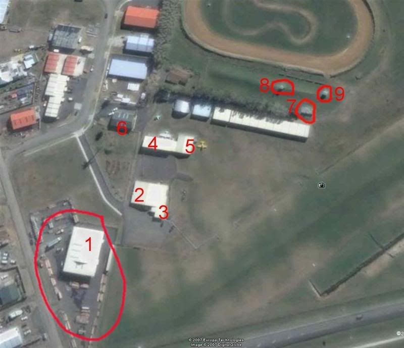
Its rather hard to tell exactly what the buildings are used for, when all you can see is the roof !!...............
Identification of these buildings is for the purpose of building a scenery for this Airfeild.
Lawrie.

100% ad-free
![]() by Snowman » Sat Nov 10, 2007 12:59 am
by Snowman » Sat Nov 10, 2007 12:59 am


![]() by Charl » Sat Nov 10, 2007 3:43 pm
by Charl » Sat Nov 10, 2007 3:43 pm

![]() by toprob » Sat Nov 10, 2007 4:16 pm
by toprob » Sat Nov 10, 2007 4:16 pm
Charl wrote:QUOTE (Charl @ Nov 10 2007, 04:43 PM) <{POST_SNAPBACK}>I do hope someone can dig in their holiday pics and come up with something.
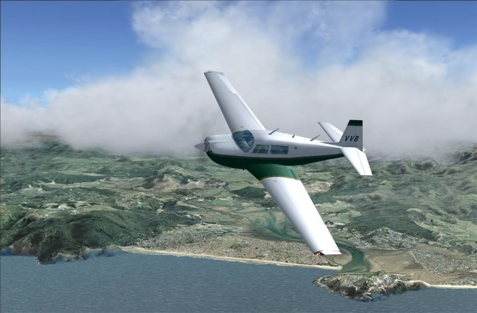
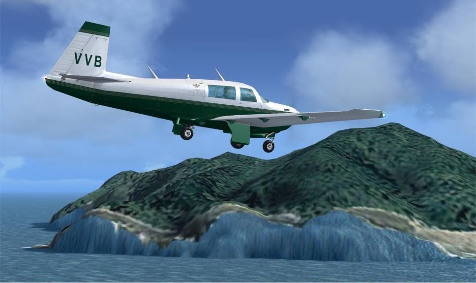
This and Pauanui would make such a great place to visit with a new Mooney, especially if they could be made to work with Robin's old Godzone Photoreal Thames scenery:
It's splendid scenery.
Wonder if Robin could be persuaded to fix the photoreal coast to fit the RBE topo?
(Even if just those areas around Whitianga and Pauanaui)
Y'know, just by way of a nod for all the exposure RealNZ gets on the upload sites, and plugs on other forums, and so on...
Yeah, that'll be this one. Being autogenned as we speak.
By the way, as well as this project, a well-known scenery developer is undertaking Coromandel airport -- I don't know if he wants the word out yet, though. Eh, Timmo?Snowman wrote:QUOTE (Snowman @ Nov 10 2007, 01:59 AM) <{POST_SNAPBACK}>Is there anybody out there that is familiar with the Real-Life Whitianga Airfield that could help me out with info as to exactly what the numbered buildings in this aerial shot are ????
Lawrie.
That reminds me, I was looking for photos last month, when I started the Coromandel Peninsula update, and I found this -- if someone is looking for a Christmas present for me, this would be ideal.Last edited by toprob on Sat Nov 10, 2007 4:34 pm, edited 1 time in total.
toprob- NZFF Pro
- Joined: Sat Apr 29, 2006 4:56 pm
- Posts: 6741
- Location: Upper Hutt
![]() by FlyingKiwi » Sat Nov 10, 2007 6:55 pm
by FlyingKiwi » Sat Nov 10, 2007 6:55 pm

![]() by ardypilot » Sun Nov 11, 2007 9:42 am
by ardypilot » Sun Nov 11, 2007 9:42 am


![]() by Snowman » Sun Nov 11, 2007 3:41 pm
by Snowman » Sun Nov 11, 2007 3:41 pm
Trolly wrote:QUOTE (Trolly @ Nov 11 2007, 10:42 AM) <{POST_SNAPBACK}>$4,800 for just that painting? I could print you out a screenshot for a fraction of the price!
I have a few snaps of Whitianga from the holidays but none show the buildings you are after.
Building 1 is a marine gear warehouse
Building 3 is the 'Mercury Bay Aeroclub' club house
Down the other end of the runway there is a new housing development. Some of the houses have aircraft parked outside- it was brand new as of Summer 06/07, and don't show up on Google Earth.
Not sure about the rest, sorry
Thanks for those little bits of info Andrew. Much appreciated. Guess i will just have to keep on digging around to see what i can find. I have seen some current plans on the District Council's website for up there, so i knew about the housing estates going in. There are a lot more to go in all around the airfeild, going by the plans, and bordering the entire length of the runways.
I think for now, i will be leaving the housing estates out of the scenery, as with a couple of new roads that are there as well.
I will build the scenery to fit around Christians current Topo roads in FS9.FlyingKiwi wrote:QUOTE (FlyingKiwi @ Nov 10 2007, 07:55 PM) <{POST_SNAPBACK}>Gah; I flew into Whitianga airfield today but didn't take any photos! Wish I'd seen this topic earlier!
Yes,.................... what a pity indeed................. oh well, back to the drawing board.............
Lawrie.
WHat im most interested in are buildings number 2, 4, and 6. Are they hangers of some sort ??
And also, can anyone tell me where the fuelling point is there, its not marked on any of the charts i have, or on the AIP chart.
Lawrie.
Snowman- NZFF Pro
- Topic author
- Joined: Wed Jul 26, 2006 3:52 pm
- Posts: 2427
- Location: Tauranga, NZ.
Users browsing this forum: No registered users and 43 guests
