655nm, 3.8 hours (total: 10,489nm, 62.4 hours)
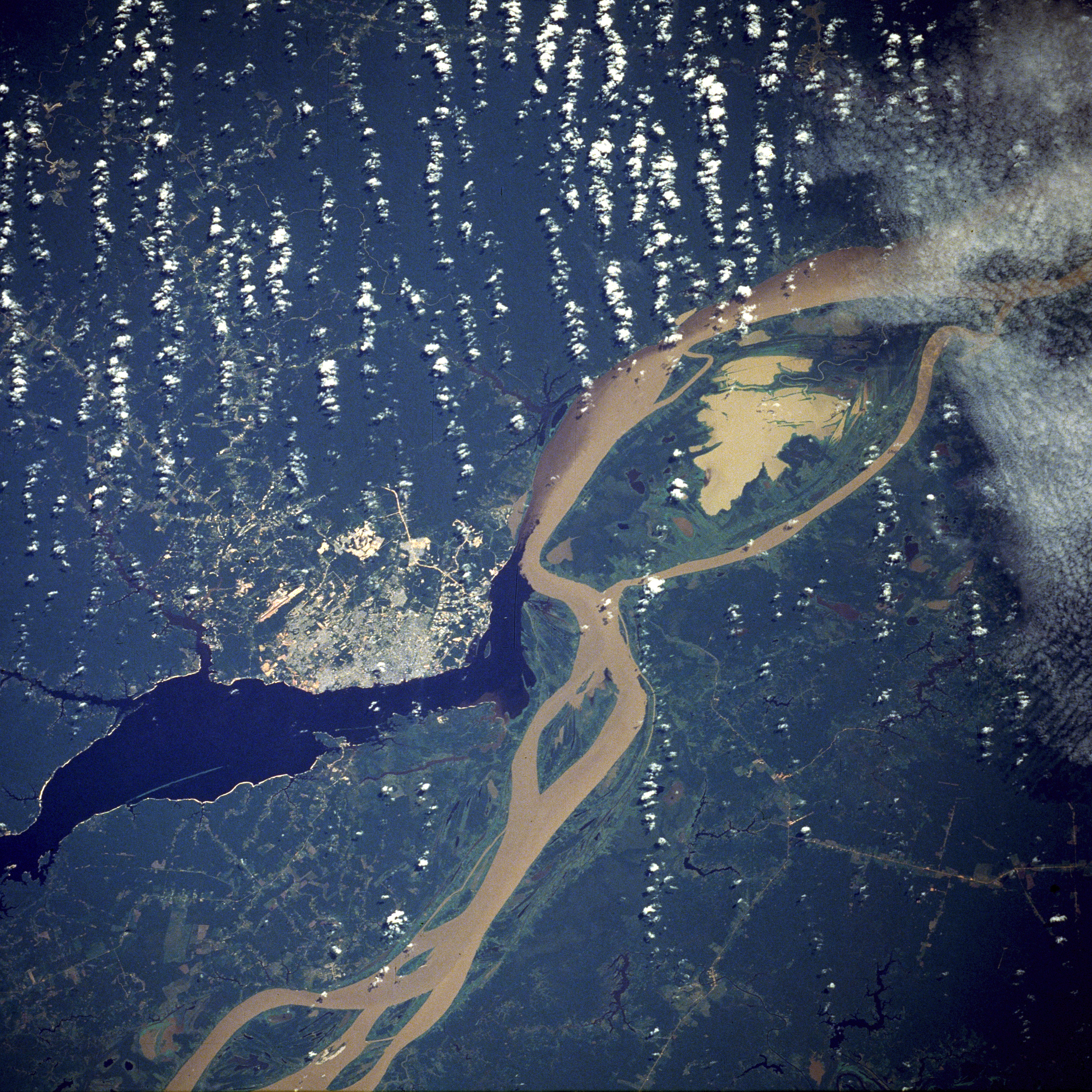
Manaus is the Meeting of the Waters; where the dark waters of the Rio Negro from Venezuela joins with the white Amazon water from Peru. In the days that we've been here, we've cruised up and down both rivers, trekked the jungle in search of lost tribes (or lost nickels. whatever, we didn't find any.), fished for piranha, avoided alligators, spied on snakes...
Getting back to town, the contrast between the miles upon miles of dense jungle, and a busy metropolis of 1.6 million people was stark. Internet cafes and restaurants almost littered every street. But I can't complain, for how else do you think these reports reach your screen?
The middle of the jungle is not a place where you'd expect there to be an aircraft sales lot, but there it is! And for a bargain price I was able to pick up this little beauty. Apparently it was so cheap because of a factory flood sale or some such, and the previous owner had crossed out the word "Columbia" on the cowl, and hand scrawled "Cessna", but at this price we can't grumble!

Once you get inside, it feels like you're in a luxury bizjet. There's a big glass panel up front. As soon as we switch it on, it appears to want to play us an XXXX-rated movie; I can't help but wonder exactly who the previous owner was!

Thankfully the display soon cleared to a set of regular flight instruments, and we were set to taxi. Our trip today is going to take us right up the Rio Negro, over the equator, into Venezuela, and finally just over the border into Colombia.

The tower controller clears us through the controlled airspace. Although there's an approach frequency listed, his is the only one that appears active, and soon we're left to our own devices.

Fortunately, navigation is not to difficult -- just follow that river! There are NDBs for us to follow, but the conspicuous lack of an ADF makes following them a little tricky!

A good chance to explore the futuristic flight deck. The very Star Trek touch panel controls air conditioning and oxygen. The readout shows that the tank will need filling, but we won't need it on this trip. It reminds us though that this plane has a seriously high ceiling, and we can almost mix it with the big boys!

Over the equator... From here it feels like the rest of the journey is downhill!

Turning base for Obando. There's nobody on the other end of the radio, so we're pretty much left to self-announce.

It looks to be little more than a dirt strip, but I'm assured that Satena flies an ERJ-145 in from Bogota three times a week. I can't help but look for signs of the flatbed that must surely haul it back out again...

The route:


