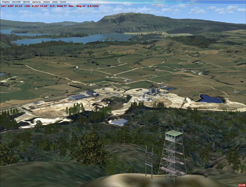
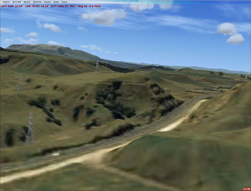
With Robins imminent release of the patch for the RealNZ Rotorua terminal which includes a large portion of 2.5m photoreal textures, i'd like to announce a complimentary scenery release.
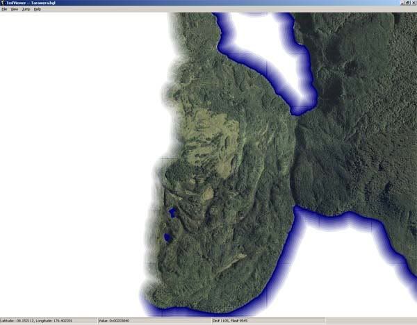
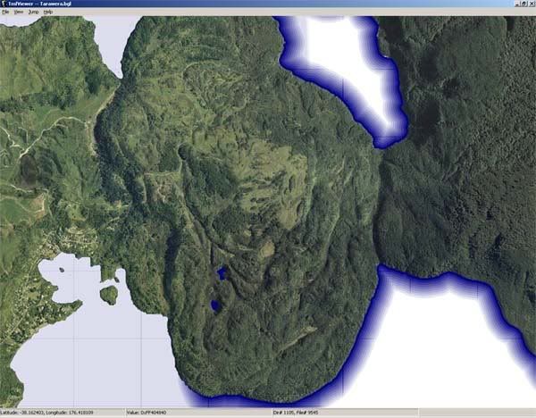
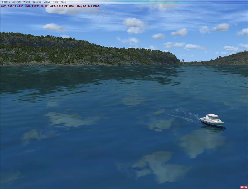
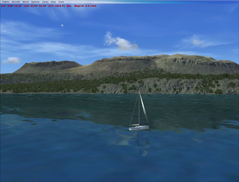
This freeware package will include photoreal orthophoto coverage of Mount Tarawera, half of Lake Tarawera, Lake Rerewhakaaitu, half of Okataina and Lake Rotomahana.
The reason why this scenery will cover only half of some lakes is because these areas will be already covered by the aerial photo part of the RealNZ Rotorua patch- The two should blend reasonably seamlessly (there may some colour differences and resolution differences).
This release will also include a 5m high resolution terrain model derived from Lidar Data owned by Environment Bay of Plenty- Terrain of this quality and density for free is, as far as im aware, a first.
I have to wait until ive tested this scenery with Robins data before it is finalised and tidy up a few things but it isnt far away.
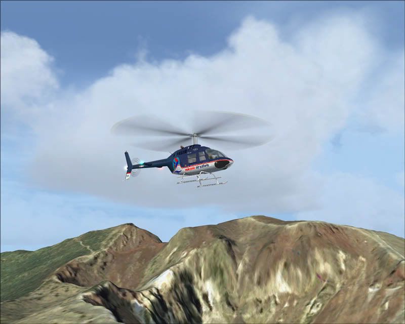
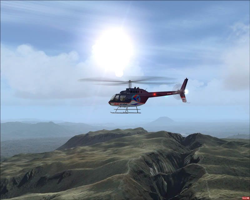
In the mean time, check out this promotional video i made (also showcasing RealNZ Rotorua [pre-patch], Deane Bs Huey and Jons VAS repaint)
http://video.google.com/videoplay?docid=3032619302328507702
Cheers


 )
)