*************************************************
VATNZ is proud to present a new feature on www.vatnz.net : VATNZ for GoogleEarth.
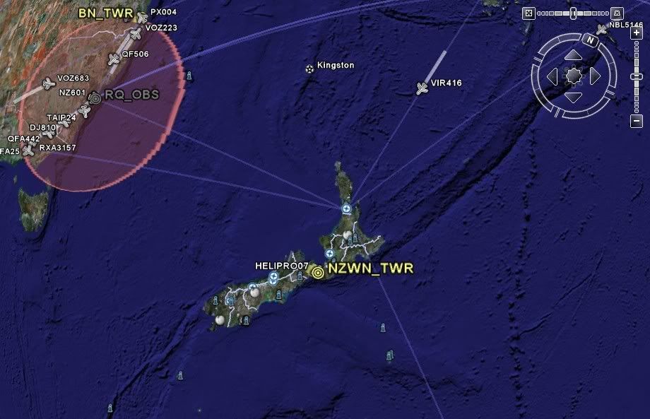
Now you can view all the aircraft and air traffic controllers currently connected to the VATSIM network using GoogleEarth:
* Each icon is clickable to display detailed flight or controller information.
* Each aircraft shows current position, and positions over the last twenty minutes all in three dimensions (ie: including altitude information).
* Great circle paths are plotted between aircraft origins and destinations.
* Data is updated every two minutes.
Full information available at: http://www.vatnz.net/cms/index.php?opti ... &Itemid=49
***************************************************
It looks pretty good


 Very cool addition to Google Earth, thanks for the link Matt!!