It's Balclutha, sitting on 20m mesh + RBE topo, with Christian's landclass, plus GE PRO textures. Real-world weather, of course.
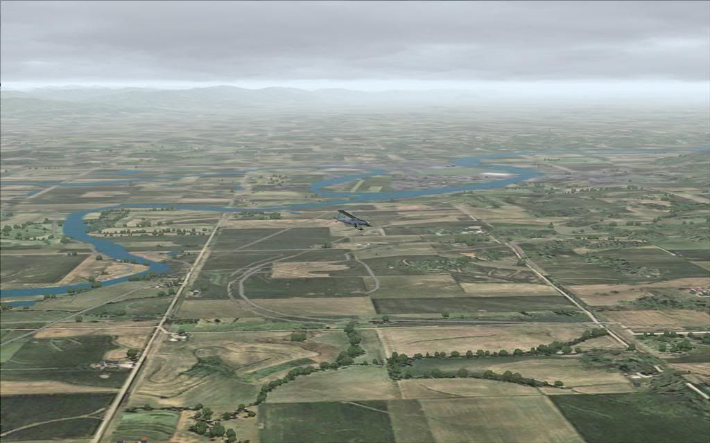
Thought I'd share the view, isn't that field left foreground amazing?
100% ad-free
![]() by Charl » Mon Nov 27, 2006 8:18 pm
by Charl » Mon Nov 27, 2006 8:18 pm

![]() by Timmo » Wed Nov 29, 2006 8:42 am
by Timmo » Wed Nov 29, 2006 8:42 am

![]() by Charl » Wed Nov 29, 2006 8:36 pm
by Charl » Wed Nov 29, 2006 8:36 pm
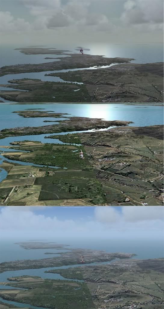
Timmo wrote: You have to remember that 'Photo-realisitc' doesnt equate to 'photo-real'. By that i mean you can have the nicest looking, crisp photo realistic textures that dont relate at all to the real terrain you are flying over (i.e. If you flew over a local area it would look nice but you wouldnt have a clue where you were and wouldnt be able to navigate VFR particularly well- Features would be repeated every 10kms or so as the texture is repeated) In effect, the textures arent providing any information at all- they just look pretty (its the vector and terrain data that gives you the required info: hills, rivers, coastline, roads etc)
On the flipside, a photo-real texture (i.e. an aerial photo put into flightsim) can be of lowish quality but still give you the necessary information to navigate VFR. Landmarks such as lines of trees, orchards, rock outcrops etc are visible and in their correct place....if you fly over a certain feature twice you know you navigation leaves a lot to be desired
Why do we need FSX? Try flying in FS9 at anything under 500ft= blurry mess
![]() by ardypilot » Wed Nov 29, 2006 9:46 pm
by ardypilot » Wed Nov 29, 2006 9:46 pm


![]() by Charl » Thu Nov 30, 2006 6:54 pm
by Charl » Thu Nov 30, 2006 6:54 pm
![]() by Charl » Fri Dec 01, 2006 7:13 am
by Charl » Fri Dec 01, 2006 7:13 am
![]() by Timmo » Fri Dec 01, 2006 12:07 pm
by Timmo » Fri Dec 01, 2006 12:07 pm
![]() by Charl » Fri Dec 01, 2006 8:44 pm
by Charl » Fri Dec 01, 2006 8:44 pm

Users browsing this forum: No registered users and 28 guests