You can see a few screenshots here.
If you click on the medium-sized images, you can see the full-sized screenshot, which is the preferred way to view them.
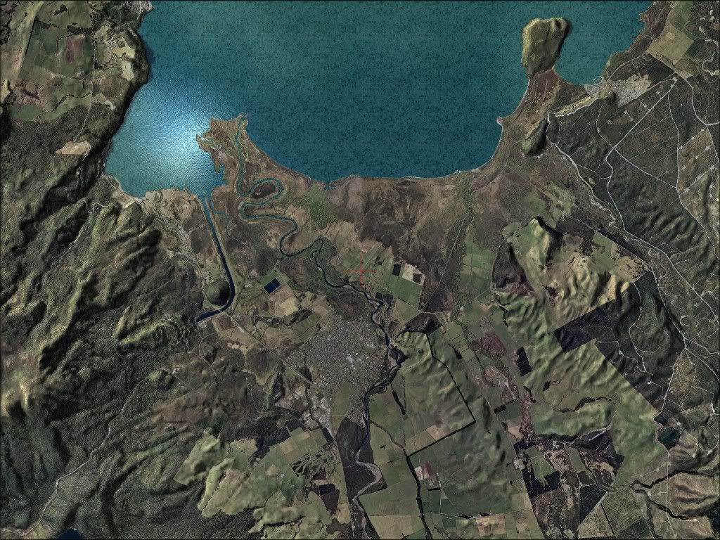
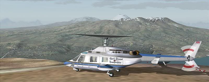
This project was an experement in geo-referencing the old LINZ images. It worked out very well -- with a spot-on alignment first time, rather than the days it took to do the first version back in 2003:)
It was so successful that it should speed-up this project. Next may be the Thames Peninsula.
The 2 best regional airports available in NZ -- save 20%


 I can't believe your work just gets better and better!