Hi guys
Since joining these forums, I haven't really flown outside NZ much at all...to break the cycle I downloaded the BlueSkyScenery Oahu Photoreal scenery. It was made for FS9 but it works in FSX. The plan was to fly around the island, starting at Honolulu Intl and finishing at a military airfield, with the coolio ICAO code of XBEL. We'll land at about 5 different fields around the island, all withing about 10-15nm of eachother. Unfortunately none of our atlases had any detailed images of Hawaii, so I can't really tell you any names of the places

Our wings for today, courtesy of ARNZ
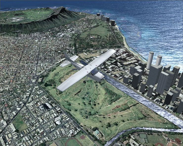
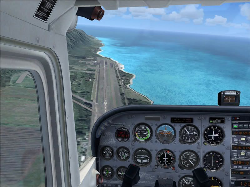
Departing PHNL


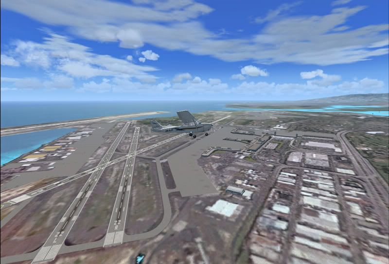
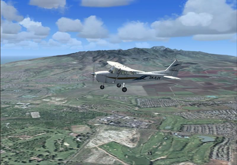
Approaching our first stop for touch and go.

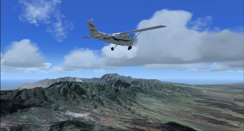
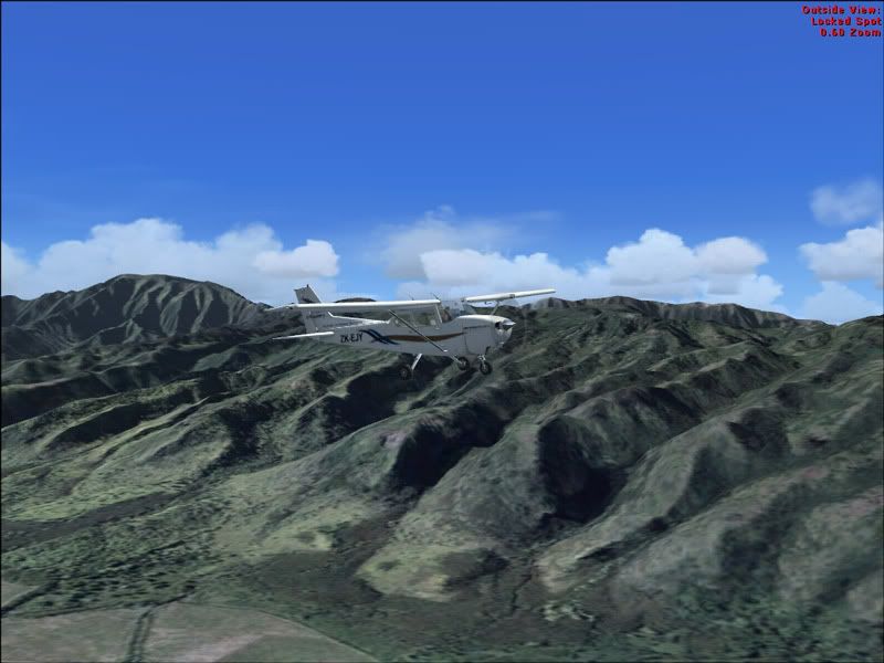
The photoreal makes the mountains seem much more"mountainous"
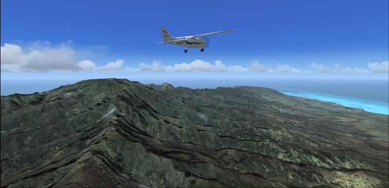
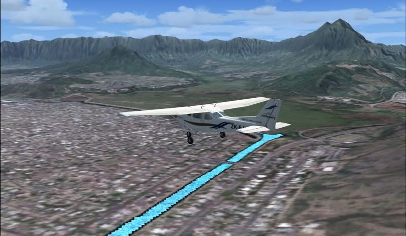
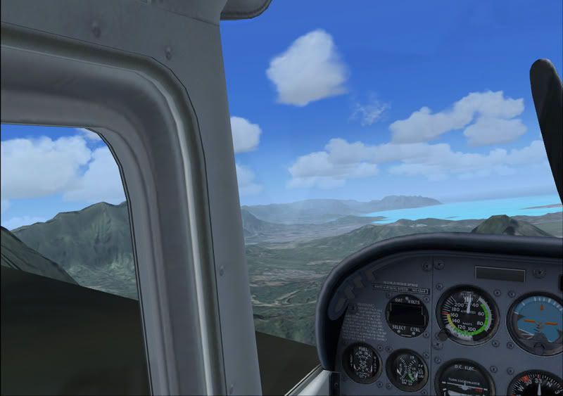
This area was my favourite part of the island.
I was far too high on the approach, so I decided to go around and carry on to the next aerodrome. The runway blends in nicely here, better than the other fields anyway.
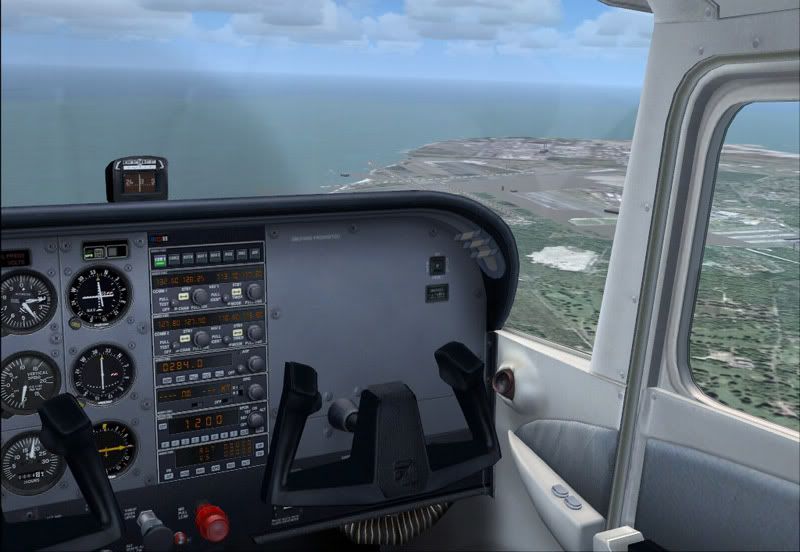
Cruising along
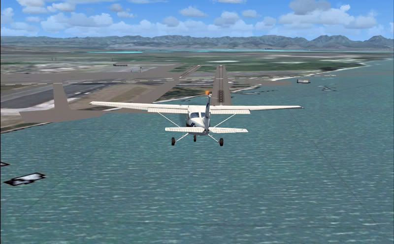
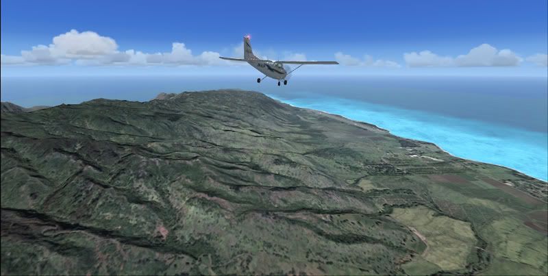
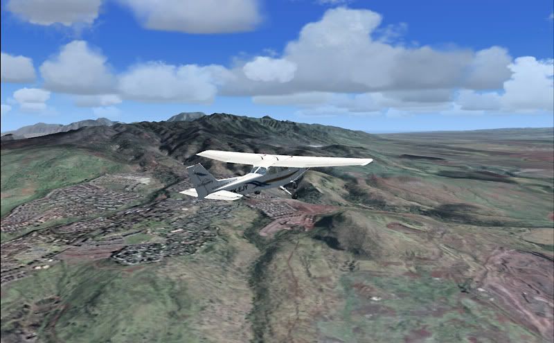
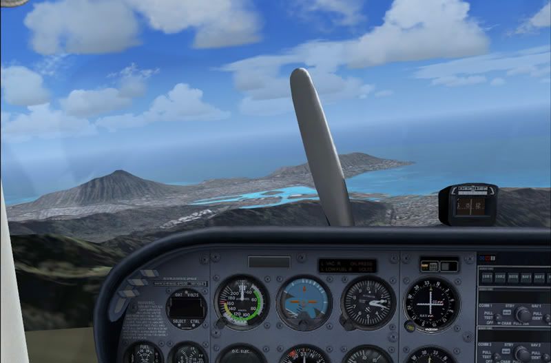
IMO, the turquoise water spoiled the whole scenery

This is XBEL. It's an abandoned military field. You can see how the AFCAD doesnt quite match up to the photo.
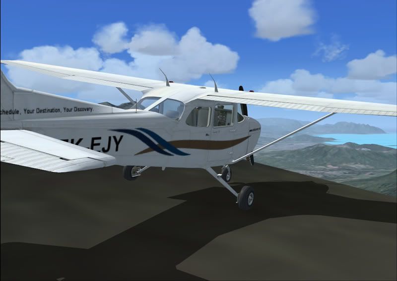
Just to make me feel like a mountain man ( ) I took these pics, from atop a mountain.
I think that this scenery would have been better in FS9 - the way FSX did the water and the AFCADs of the various airports made it a little crappy sometimes. There are some very good screenshots of this sceneryon the Flightsim.com forums though, if you want to have a geeze B)
Brock B)
Since joining these forums, I haven't really flown outside NZ much at all...to break the cycle I downloaded the BlueSkyScenery Oahu Photoreal scenery. It was made for FS9 but it works in FSX. The plan was to fly around the island, starting at Honolulu Intl and finishing at a military airfield, with the coolio ICAO code of XBEL. We'll land at about 5 different fields around the island, all withing about 10-15nm of eachother. Unfortunately none of our atlases had any detailed images of Hawaii, so I can't really tell you any names of the places
Our wings for today, courtesy of ARNZ
Departing PHNL
Approaching our first stop for touch and go.
The photoreal makes the mountains seem much more"mountainous"
This area was my favourite part of the island.
I was far too high on the approach, so I decided to go around and carry on to the next aerodrome. The runway blends in nicely here, better than the other fields anyway.
Cruising along
IMO, the turquoise water spoiled the whole scenery
This is XBEL. It's an abandoned military field. You can see how the AFCAD doesnt quite match up to the photo.
Just to make me feel like a mountain man (
) I took these pics, from atop a mountain.I think that this scenery would have been better in FS9 - the way FSX did the water and the AFCADs of the various airports made it a little crappy sometimes. There are some very good screenshots of this sceneryon the Flightsim.com forums though, if you want to have a geeze B)
Brock B)