Just a quick screenie on a flight over the Canterbury Plains in a plane.
This screenshot is unedited as well.
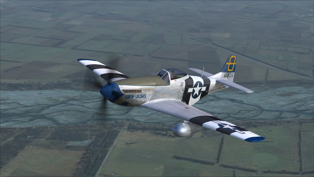
This screenshot is unedited as well.

Naki wrote:QUOTE (Naki @ Feb 21 2011, 08:23 PM) <{POST_SNAPBACK}>Very nice..actually stunning!..is that Warick Carter Mustang in FSX?
Yes, it's the Version 2.

 Connor, that is one damm fine screenshot....holy cow....many more thumbs, and I'll give you some stars.
Splitpin wrote:QUOTE (Splitpin @ Feb 21 2011, 08:35 PM) <{POST_SNAPBACK}>what scenery is that?
Marty , that,s Canterbury , you pulling my leg are you notthe Hexagonal treeline , heading out to Swananoa , Tram Rd area
Ian Warren wrote:QUOTE (Ian Warren @ Feb 21 2011, 09:47 AM) <{POST_SNAPBACK}>Bugs , welcome to Canterbury , the river below is the 'Waimakariri River' , we no as the 'Waimak ', the area is farm land directly north of Christchurch around 'Cust' and the Tram Rd , from this point to were the road ends in OXford starting from near Kaiapoi climbs 1000 ft , a road heading 32 kilometers east to west , Canterbury is not so flat after all
Thanks for info! Is it a free scene ?

Ian Warren wrote:QUOTE (Ian Warren @ Feb 21 2011, 09:47 PM) <{POST_SNAPBACK}>the area is farm land directly north of Christchurch around 'Cust' and the Tram Rd. . .
I live just out of this shot. . . Ian Warren wrote:QUOTE (Ian Warren @ Feb 21 2011, 09:47 PM) <{POST_SNAPBACK}>. . . a road heading 32 kilometers east to west . . .
It's dead straight as well, just what you feel like travelling down after a long day skiing.
Posted: Tue Feb 22, 2011 7:50 am
Nice shot. I had to look several times to be convinced it was taken from the sim !!
