Paul, that is exactly what I did, but with my preferred rotary wing device.
It all started with an NZA scenery of Oamaru, which I had previously missed.

It's a little remote, and I wondered where one could go from there.
Well, the Waitaki River is just up the road, and maybe one could follow it up to the source lakes
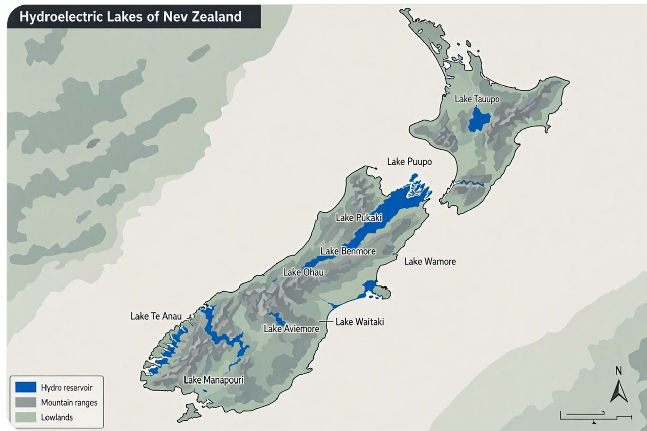
That is when, just for fun, I asked the AI to generate a map I could use for my screenshots.
The result was a great display of how confidently stupid AI can be, and how wrong.
Here's what the lakes look like for my journey, I have linked
my screenshots by way of background.

Going down the rabbit hole, I paused each time to marvel at the breadth of vision those engineers of last century showed, and their courage to embark on something of quite this scale and ultimate complexity.
The South Island’s Waitaki Hydropower Scheme harnesses the stored energy of Lakes Tekapo, Pukaki and Ohau.
All three lakes were formed roughly 15,000 to 20,000 years ago during the last Ice Age when the terminal moraines of receding glaciers blocked their respective valleys.
The lakes and river were modified extensively by construction work in the 20th Century, building canals, dams and hydro power stations.
An intricate balance of lake levels and outflows manages the runoff from the Southern Alps in the west into the Waitaki River, down to the Pacific Ocean on the east coast.
Along the way, electrical energy is harvested in eight locations.
Construction of the Scheme had a tremendous impact, spanning over half a century, with wide-ranging technological, social and ecological effects on the region, and the country as a whole.
• Created unemployment and medical welfare schemes during the Great Depression of the 1930’s
• Created whole new towns: Otematata - dismantled on completion of Benmore Dam and then moved to present-day Twizel for the Upper Waitaki works.
• Changed the hydrology of the Mckenzie Basin, a catchment of some 12,000 km2
• Currently supplies 1/3 of New Zealand’s electrical power, and holds roughly half of the country's total hydroelectric storage capacity.
Here is the sequence of power stations from the headwaters down to the sea:
Lake Tekapo1938: Construction began on the Tekapo A Power Station and control gates.
1940: The lake control gates were completed to regulate outflows into the Tekapo River.
1942–1944: Work stopped due to World War II shortages and resumed after the conflict.
1951: The
Tekapo A Power Station was completed and came online.
Lake PukakiLake Pukaki’s water levels are tightly managed by Meridian Energy according to strict resource consents, operating as New Zealand's single largest hydro-storage reservoir. The lake functions like a massive battery, holding over 50% of the country's total hydroelectric storage capacity.
There is no hydropower station at the southern dam wall.
1946: First Earth dam, raising the natural lake level.
1955: Lake level further raised
1970: 25.5 kilometre canal was constructed to take outflows from Tekapo A to Tekapo B
1971: A larger control structure was built to raise the lake level a significant amount
1977:
Tekapo B Power Station was built. This used water from Lake Tekapo leading via a canal to discharge onto Lake Pukaki’s eastern shore
Lake Ohau1971:
Ōhau A, situated on the Ōhau Canal which conveys water from Lake Ōhau and Lake Pukaki into artificial Lake Ruataniwha
1984:
Ōhau B Sits downstream, taking water flowing out of Lake Ruataniwha
1985:
Ōhau C Further down the canal before discharging into Lake Benmore.
Lake Benmore and hydro station1958 – 1965: Created by damming the Waitaki River.
The dam is the largest earth-fill water-retaining structure in New Zealand
Lake Aviemore and hydro station1962 – 1968: Created by damming the Waitaki River. It straddles the Waitangi fault.
Waitaki Dam and hydro station1928-1934: Created by damming the Waitaki River. Built using pick and shovel, horse and cart.
Chronology of Hydropower Works1935 Waitaki Dam
1940 Tekapo A
1946 Pukaki Dam Raised
1968 Aviemore Dam
1965 Benmore Dam
1979 Ōhau A
1984 Tekapo B
1984 Ōhau B
1985 Ōhau C
 Posted: Wed Sep 02, 2026 11:12 am
 .. good old reliable AI aye
 ....!
....! ...
...  ....!
....!