I have recently noticed (so not sure if this is post VLC patch or not) large square elevation jumps surrounding NZAA. They seam to start at about 1-2nm from the airport and rise up about 50 feet, this includes water also. Once the elevation has 'jumped' it seams to continue on at this level. As if where there should be a gradual rise in terrain it is increasing sharply. What is odd that I have not seen before is water affected by this.
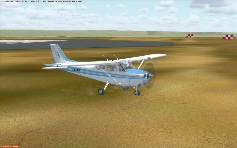
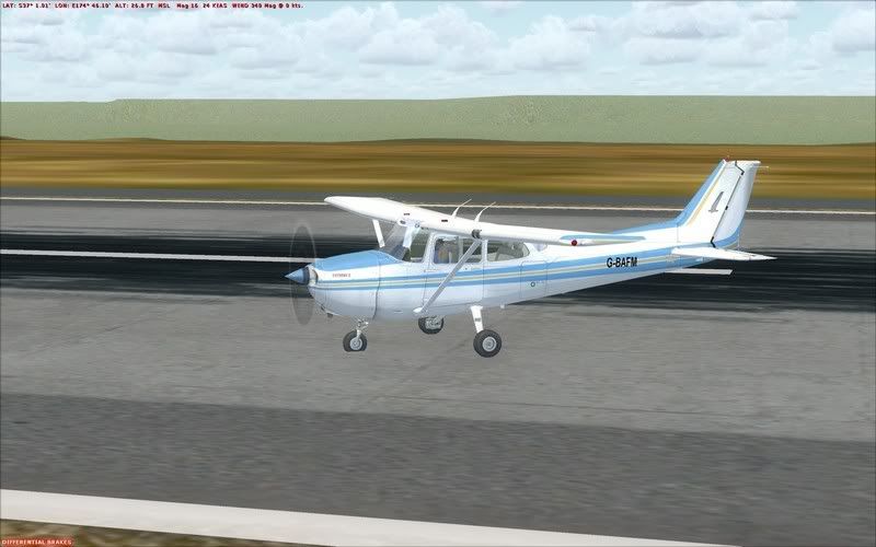
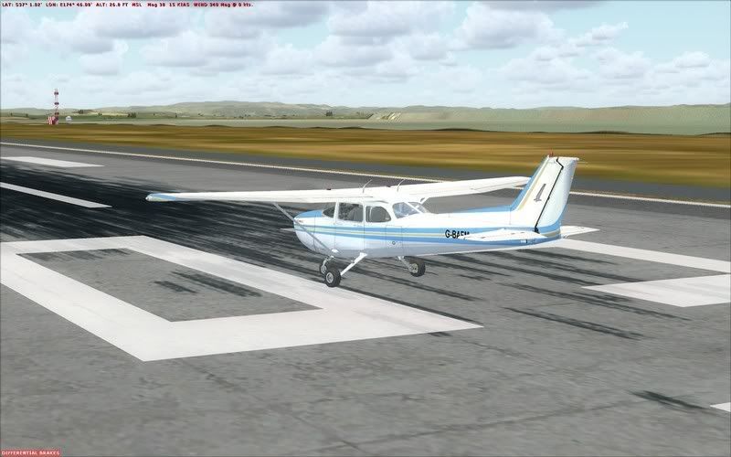
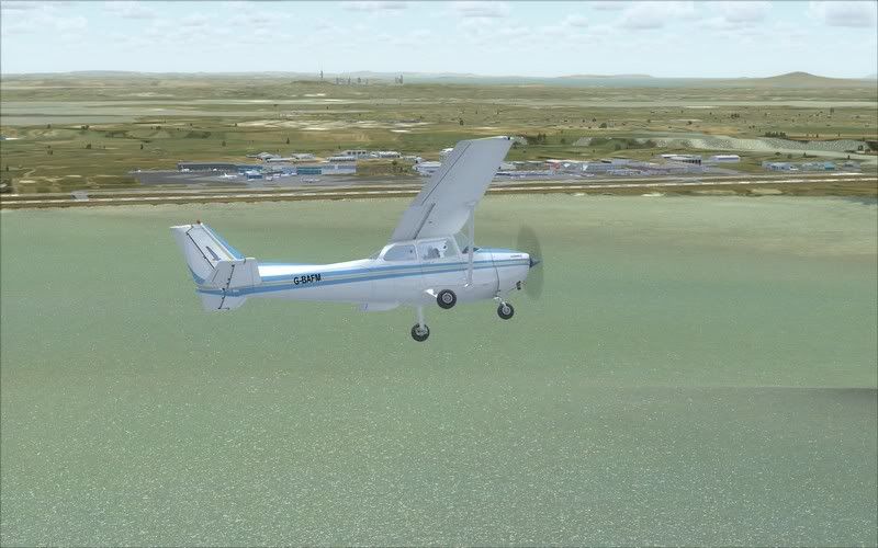
Now my first instinct was this was an AFCAD elevation issue, so I went back to the default NZAA AFCAD and had the exact same issue. Both the default and the 3rd party one I use have the airport elevation at 23 feet which is correct and in accordance with the AIP, while I understand that this altitude may differ in the real world by 1 or 2 feet in certain locations, the elevation jump I am getting as shown above is much greater.
I also tried deactivating the flatten I had created for my NZAR scenery and that also made no difference.
I have checked though all my scenery files to make sure there is no other conflicting mesh e.t.c and could not find anything. I do however have RealNZ Supercity installed.
Any ideas?
Regards, Scott