Her indoors specifically banned me from attending the real-world Wanganui bike race this year, so as she was sleeping in today (being boxing day) I thought why not make a VFR flight from Hamilton down to Wanganui. 
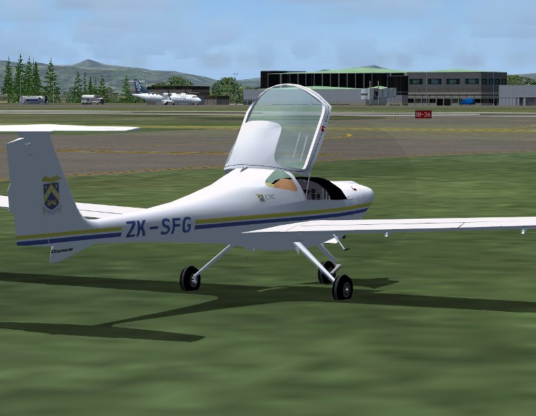
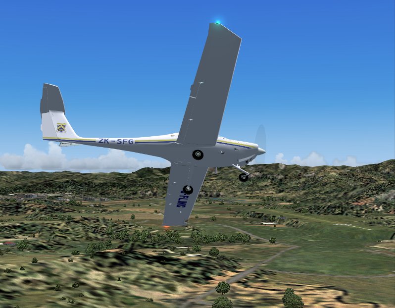
My weapon of choice, the Diamond DA20 Katana, specifically borrowing CTC training's ZK-SFG from their Hamilton base (I made this repaint of the PAD Katana today, if you'd like a copy PM me and I'll send you the zip)
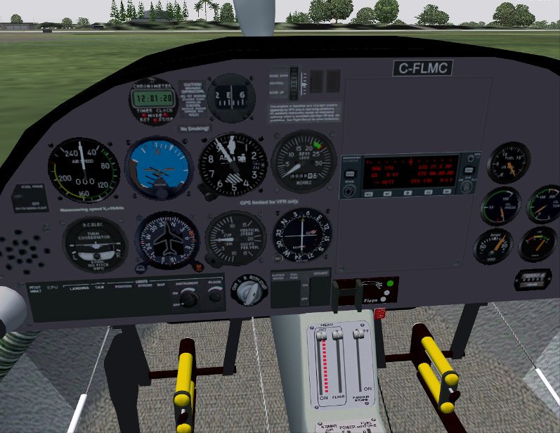
close the canopy and ready for startup...
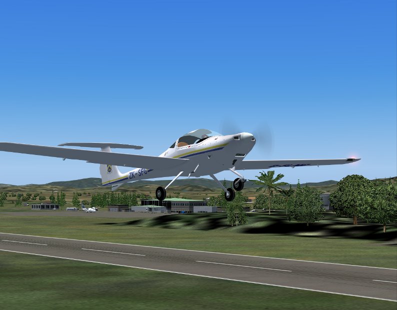
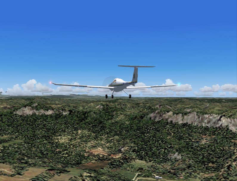
climbing up from 18R heading south, an ATR over at the domestic terminal ready to depart...
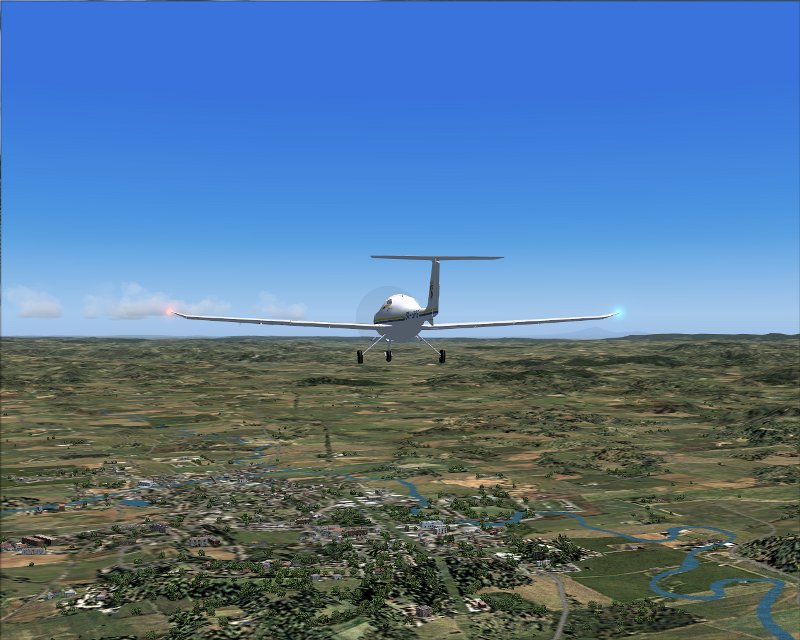
passing over the mighty metropolis of Otorohanga...
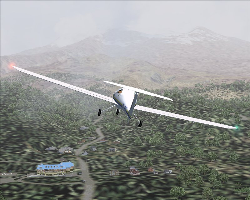
and up into and over some of the mighty hills, valleys and bluffs of the King Country...
banking for a touch-n-go at Taumarunui...
and on up into the high country, some thicker cloud cover just above us at about 3500ft, you can see Raurimu spiral winding its way beneath us here..
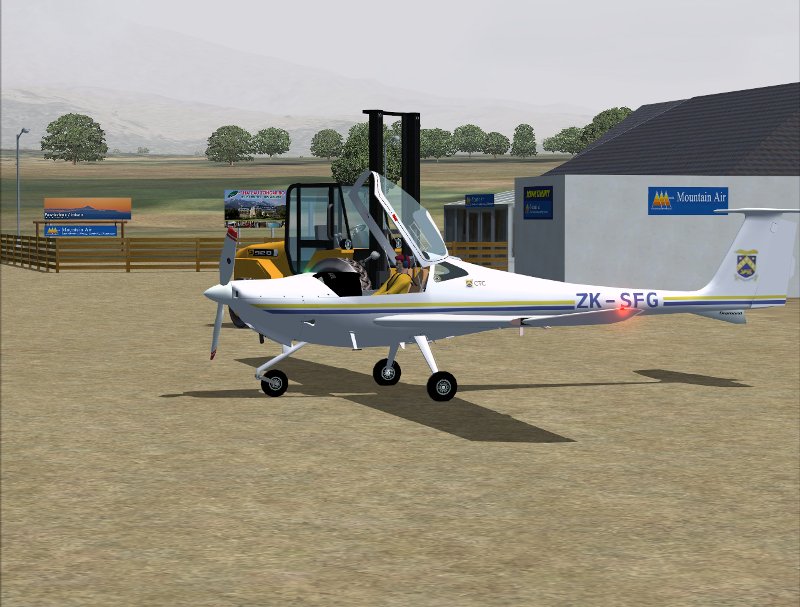
stopping in at the Chateau airfield (courtesy of Lawrie: chateau_airfield_nz22.zip) for a bite to eat and a coffee in the Mountain Air office...
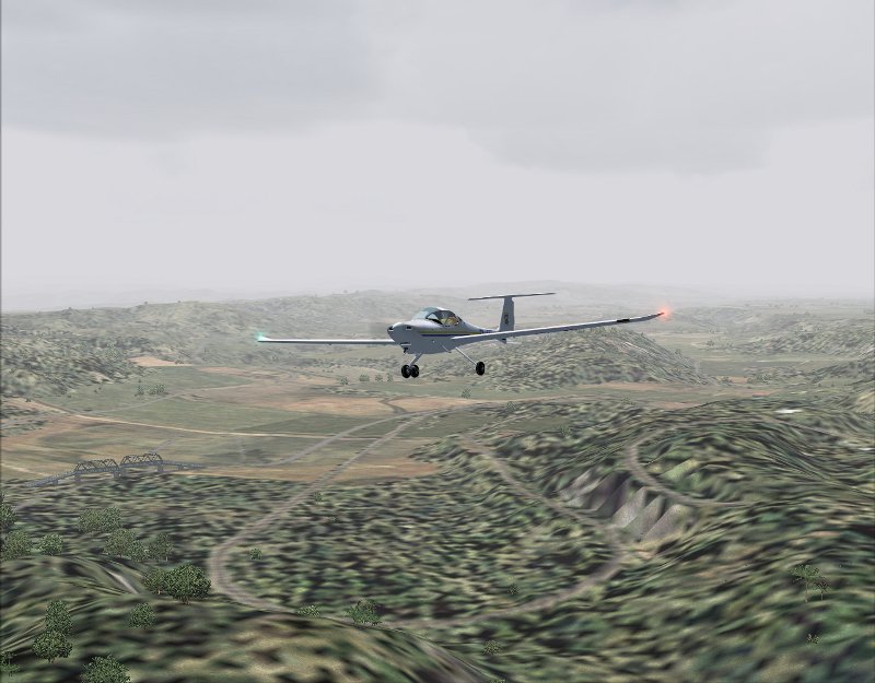
then off up past the Chateau Tongiriro, not a lot to see unfortunately due to the low cloud..
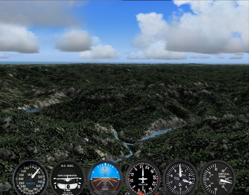
now out to the West to the head waters of the Whanganui river where we drop down into the valley and follow the river downstream for awhile, this is great hilly country and a delight to explore..
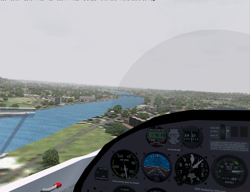
then we open out into the flat country and into the Wanganui city, hugging the river...
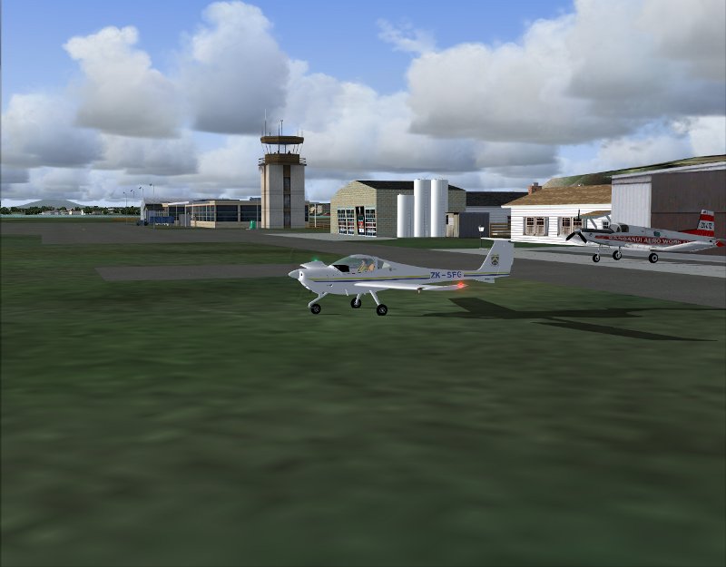
and down to Wanganui airport (wanganui_airport_nzwu_2007.zip - thanx again Lawrie), shut down, and off to the races to enjoy the smell of av-gas running in motorcycles
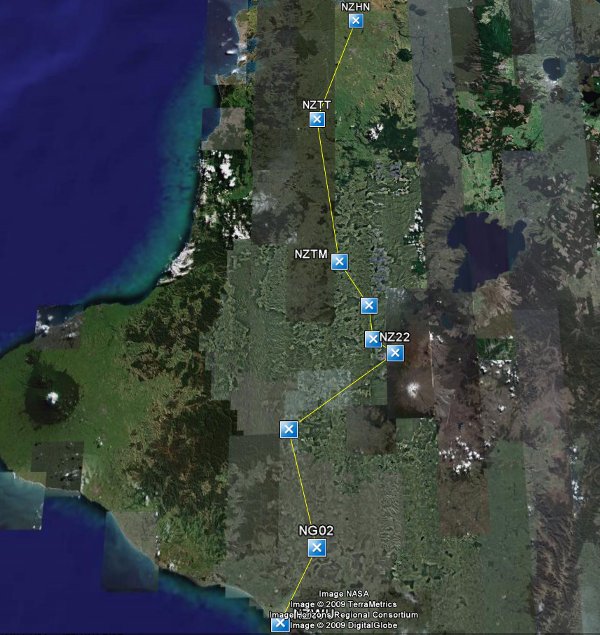
Was an interesting flight down, keeping nice and low you get a real impression of just how rugged and isloated this part of the North Island is. Here's a map of the route, and I have a flightplan here if you'd like to follow it yourself some time
My weapon of choice, the Diamond DA20 Katana, specifically borrowing CTC training's ZK-SFG from their Hamilton base (I made this repaint of the PAD Katana today, if you'd like a copy PM me and I'll send you the zip)
close the canopy and ready for startup...
climbing up from 18R heading south, an ATR over at the domestic terminal ready to depart...
passing over the mighty metropolis of Otorohanga...
and up into and over some of the mighty hills, valleys and bluffs of the King Country...
banking for a touch-n-go at Taumarunui...
and on up into the high country, some thicker cloud cover just above us at about 3500ft, you can see Raurimu spiral winding its way beneath us here..
stopping in at the Chateau airfield (courtesy of Lawrie: chateau_airfield_nz22.zip) for a bite to eat and a coffee in the Mountain Air office...
then off up past the Chateau Tongiriro, not a lot to see unfortunately due to the low cloud..
now out to the West to the head waters of the Whanganui river where we drop down into the valley and follow the river downstream for awhile, this is great hilly country and a delight to explore..
then we open out into the flat country and into the Wanganui city, hugging the river...
and down to Wanganui airport (wanganui_airport_nzwu_2007.zip - thanx again Lawrie), shut down, and off to the races to enjoy the smell of av-gas running in motorcycles
Was an interesting flight down, keeping nice and low you get a real impression of just how rugged and isloated this part of the North Island is. Here's a map of the route, and I have a flightplan here if you'd like to follow it yourself some time