Page 1 of 1

PostPosted: Fri Apr 25, 2008 12:06 am
by Snowman
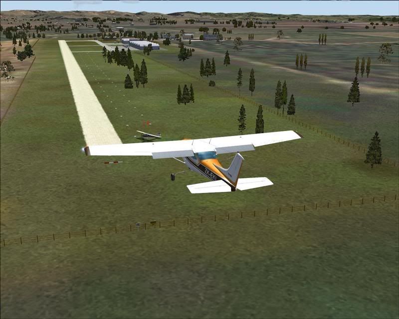
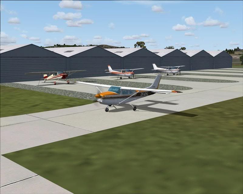
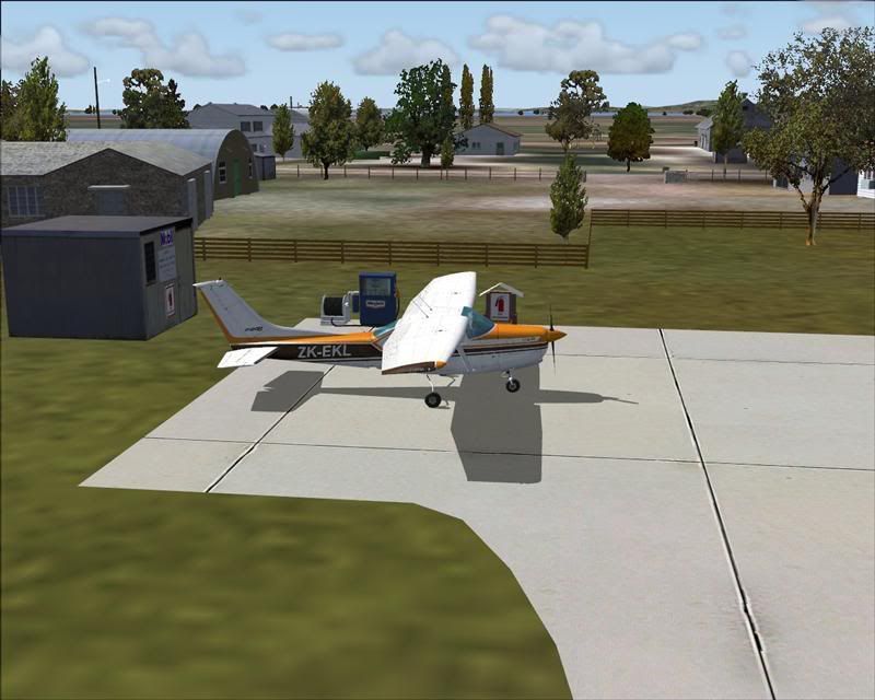
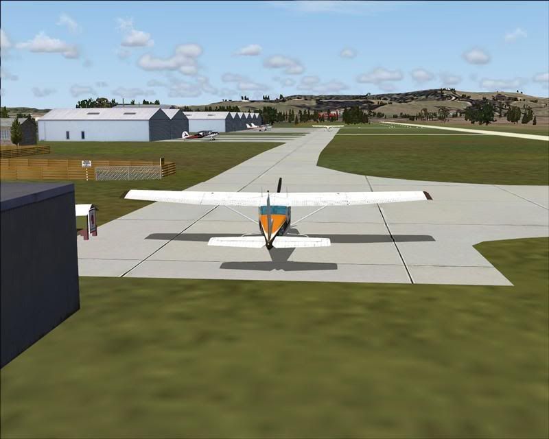
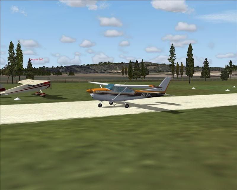
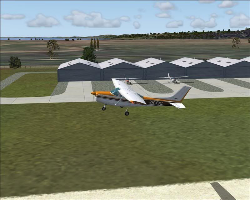
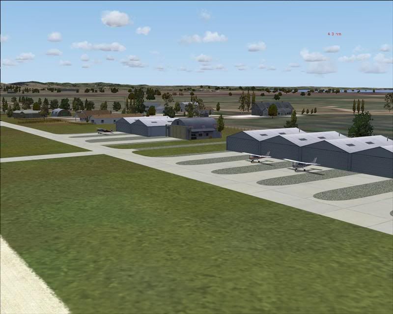
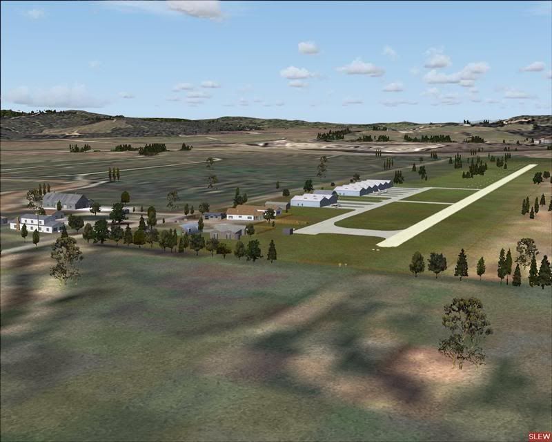
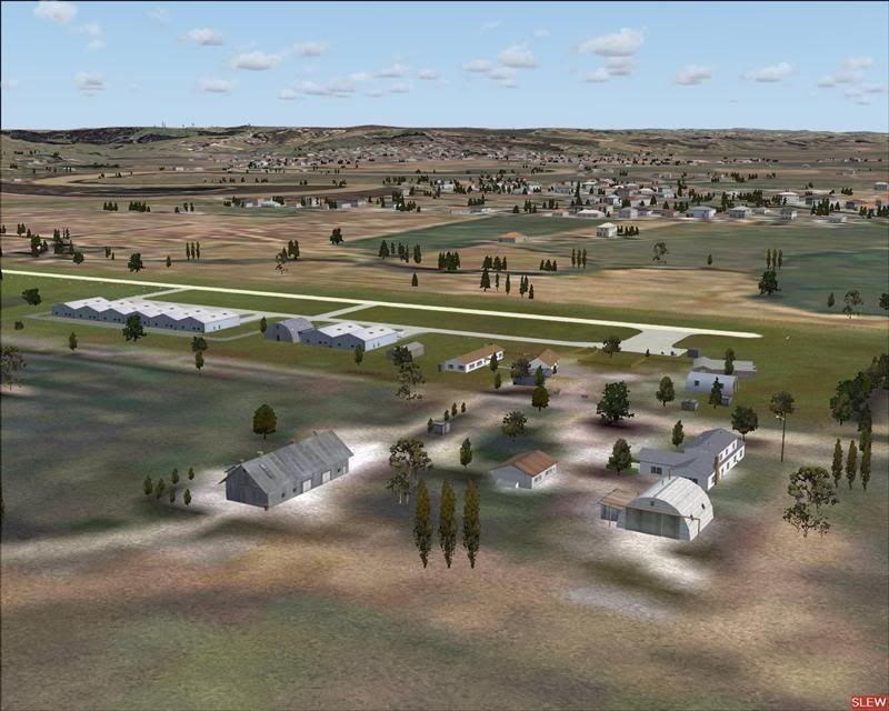
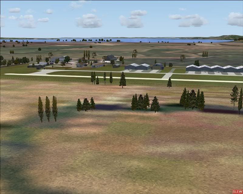
Just uploaded to Avsim,.......... Parakai (Helensville) Airfield, NZPI.
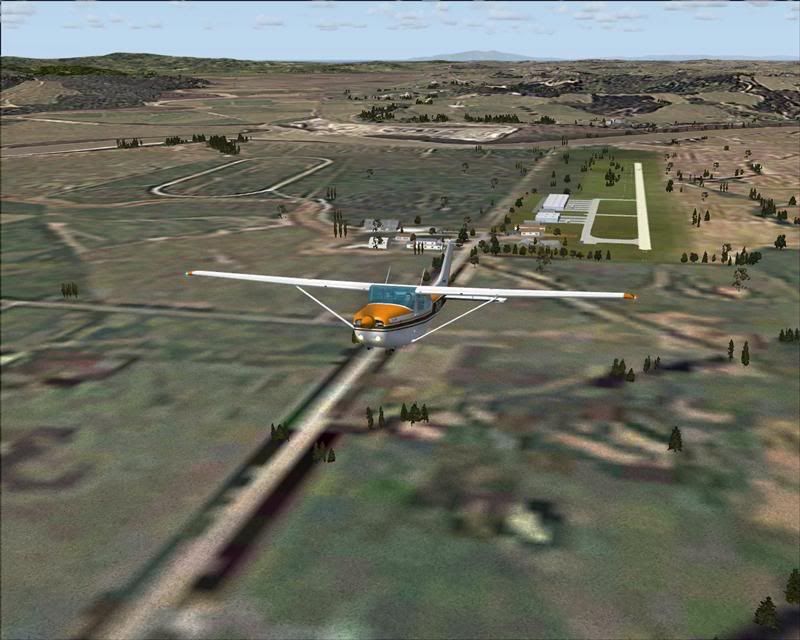
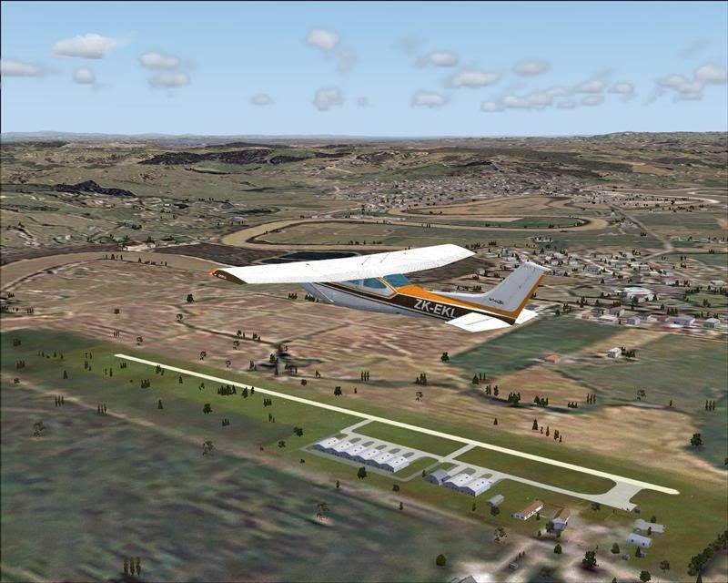
This scenery is designed to fit into the "RealNZ Auckland City" photoreal payware scenery by Robin Corn.


Lawrie. >nzflag<

PostPosted: Thu May 01, 2008 8:35 am
by GASKA
will this work with default FS9 mesh?

Jim >nzflag<

PostPosted: Thu May 01, 2008 10:36 am
by ardypilot
Awesome- another one of Charl's ground polygon's in use there is it?

PostPosted: Thu May 01, 2008 11:17 am
by Timmo
FSXers: Im working on one for FSX with custom buildings :)

(im hampered slightly by the lack of decent Google Earth imagery over the airfield but its good enough for a guestimate)

PostPosted: Thu May 01, 2008 3:42 pm
by Snowman
Trolly wrote:
QUOTE (Trolly @ May 1 2008, 10:36 AM) <{POST_SNAPBACK}>
Awesome- another one of Charl's ground polygon's in use there is it?


Yes Andrew,. ................... it is indeed.
We worked together on North Shore and Parakai.

Lawrie. >nzflag<


GASKA wrote:
QUOTE (GASKA @ May 1 2008, 08:35 AM) <{POST_SNAPBACK}>
will this work with default FS9 mesh?

Jim >nzflag<


Sorry Jim,........... I have no idea what it will look like in FS9s default mesh.
Microsoft never saw fit to include Parakai in FS9 at all.
You could always try it, and let the rest of us know.............

Lawrie. >nzflag<


Timmo wrote:
QUOTE (Timmo @ May 1 2008, 11:17 AM) <{POST_SNAPBACK}>
FSXers: Im working on one for FSX with custom buildings :)

(im hampered slightly by the lack of decent Google Earth imagery over the airfield but its good enough for a guestimate)


Same problem Timmo, Googles pics were c**p................
I worked from only a few small pics i found from a fairly intensive and time consuming search.
Fortunately, the few i found were reasonably good aerial shots of the place,......... even though they were a bit small...

Lawrie. >nzflag<

PostPosted: Thu May 01, 2008 4:55 pm
by Timmo
haha dont worry- Fs9ers MS also missed out Parakai in FSX too

I went to the airfield and took heaps of pics but i use my little map to find the coordinates for accurate placement of taxiways, buildings etc...generally the google earth imagery is great for this

PostPosted: Thu May 01, 2008 5:58 pm
by Alex
Wow, the maps page/s is/are really coming along - great work Timmo! :clap:

Alex