Nosecone wrote:QUOTE (Nosecone @ Aug 22 2012,10:09 PM) <{POST_SNAPBACK}>Hi
I have heard of Plan G but thought it was just a nav add software what is the terain mode, love to know more about it
Rhys
Hi Rhys
PlanG is a very comprehensive freeware program available from http://www.tasoftware.co.uk
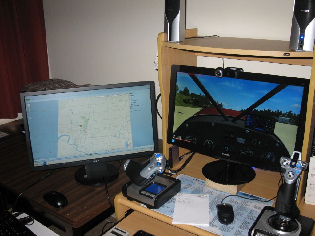
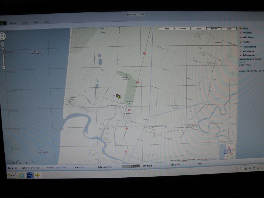
It is a flight planning and monitoring system based on the use of the Google mapping tool. I am not much into flight planning but the flight monitoring mapping tools are very comprehensive indeed. If you are flying low and slow the terraIn map display permits you to fly 'looking out the window' and when in mountainous or hilly country select the safe turning options without finding yourself in a blind valley with no turning or climbing options available. There are five map options all based on Google Maps. (you do not have to purchase them; PlanG automatically couples into them) One display is predominantly based on road maps. There is a comprehensive 106 page manual and I would encourage you to download and read it.
I have the program installed on a separate computer from that in which FSX is installed. The two computers are connected by FSUIPC. It can be installed on the same computer in which FSX resides; but, in my view, doing so somewhat restricts your viewing ability and can impact on your "fps" in some setups. In my case can fly FSX and PlanG at the same time and both with full screen simultaneous displays.
Clyde Williams
LEVIN
Wellington
22 posts
• Page 2 of 2 • 1, 2
![]() by rayclyde » Sat Aug 18, 2012 10:02 am
by rayclyde » Sat Aug 18, 2012 10:02 am
- rayclyde
- Forum Addict
- Joined: Sat Sep 09, 2006 10:25 am
- Posts: 150
- Location: Levin
22 posts
• Page 2 of 2 • 1, 2
Return to Godzone 'Real New Zealand' Scenery Support
Who is online
Users browsing this forum: No registered users and 17 guests