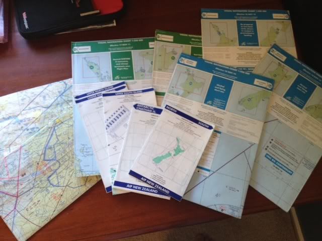
I have lying around a few old real world charts which may be of some use or interest to a flight sim pilot. VNCs (both 1:250 and 1:500) for areas scattered around the South and North Islands that have all expired, and a full set of IFR Enroute charts covering New Zealand which are up to date until the end of May 2012.